
BERTAM KEPALA BATAS FLOOD MITIGATION AND DRAINAGE PROJECT
DESCRIPTION
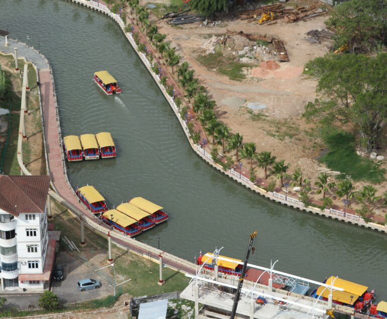
The project area is located about 7 km from the coast in the district of Seberang Prai Utara, Pulau Pinang, encompassing the Mukim of Bertam and the township of Kepala Batas. It is a flood plain that is bounded by Sg. Muda in the north and Sg. Prai in the south which is drained by several rivers canalised by Jabatan Pengairan clan Saliran (JPS) into agricultural drains. Owing to the low-lying terrain, this area and some parts of Kepala Batas town is prone to flooding due to flow stagnation.
This area suffered serious flooding in 1997, 1998 and 2003. The situation could become worse in the near future with the proposed massive housing and commercial development in Bertam area which is upstream of Kepala Batas.
Following the feasibility study carried out by RPM Engineers in 2001, JPS has appointed RPM Engineers as the lead consultant working in association with SMHB for the detailed design and supervision of the Bertam -Kepala Batas Flood Mitigation Project. SMHB will focus on the improvement works for the two main drains namely, Sg. Tembus/Sg. Lahar Tiang and Sg. Lahar Endin in the northern part of the project area.
The main scope of the design works by SMHB comprises the following:
- Hydrological and hydraulic studies for the Sg. Lahar Endin and Sg. Tembus/Sg. Lahar Tiang catchments.
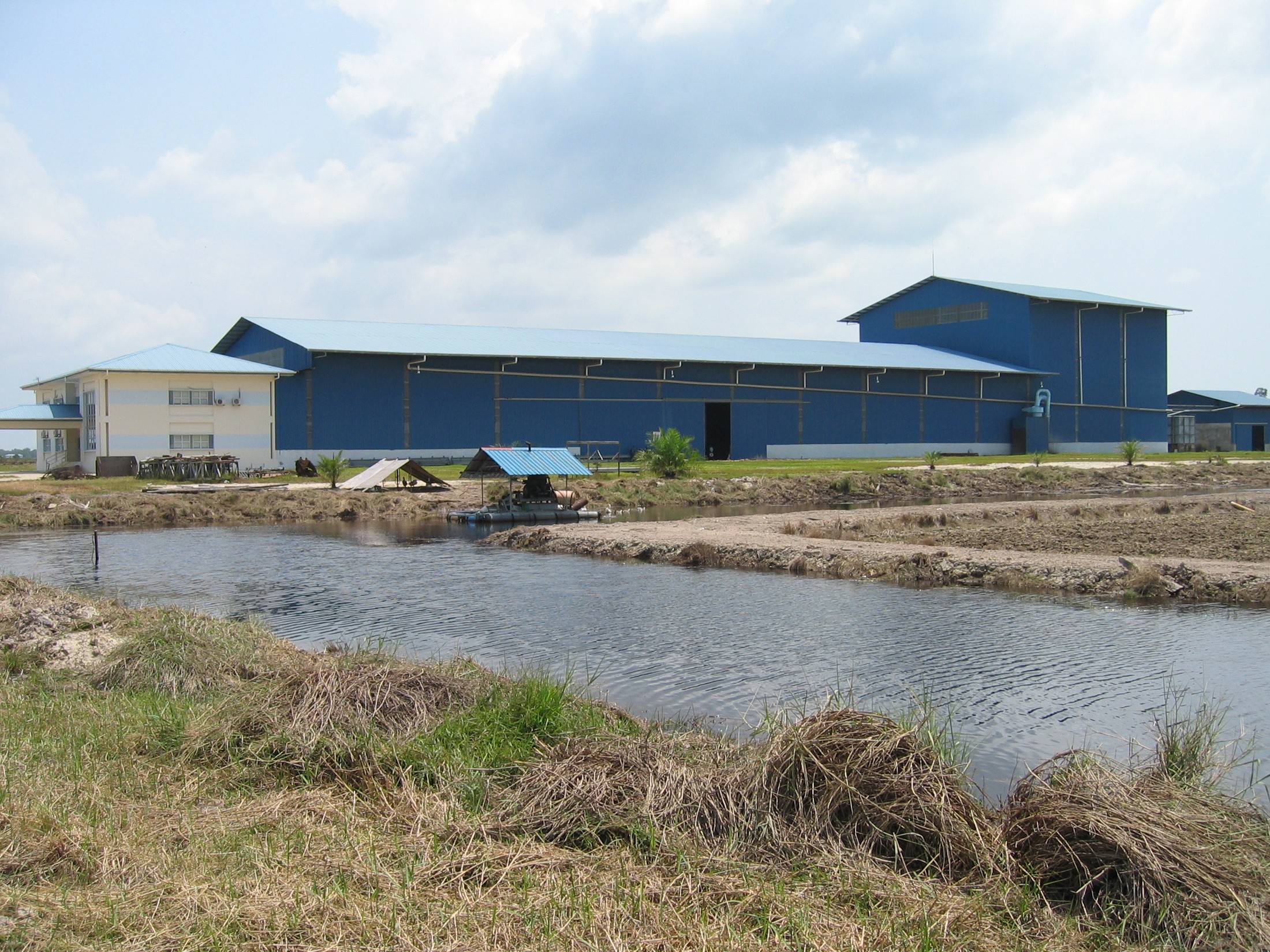
- Pumped drainage design in conjunction with detention pond for Sg. Lahar Endin.
- River improvement design for Sg. Tembus/Sg. Lahar Tiang.
SERVICE PROVIDED
Detail design and construction supervision
PROJECT DATA
Associate Firm
RPM Engineers Sdn Bhd (Lead Consultant)
Client
Jabatan Pengairan dan Saliran (JPS) Malaysia
Location
Pulau Pinang, Malaysia
Commencement Year
March 2004
Completion Year
February 2009


